
Live maps
- Real-time positions with breadcrumb trails
- Points of interest, routes with difficulty ratings, and boundaries
- Public share links and maps you can embed on your website
- Race mode, with team positions for events
Locations
Locations tracks vehicles, people and equipment in real time, alerts the right people when a tracker crosses a boundary or speeds, and keeps your trips, inspections and fuel logs together.
Built for
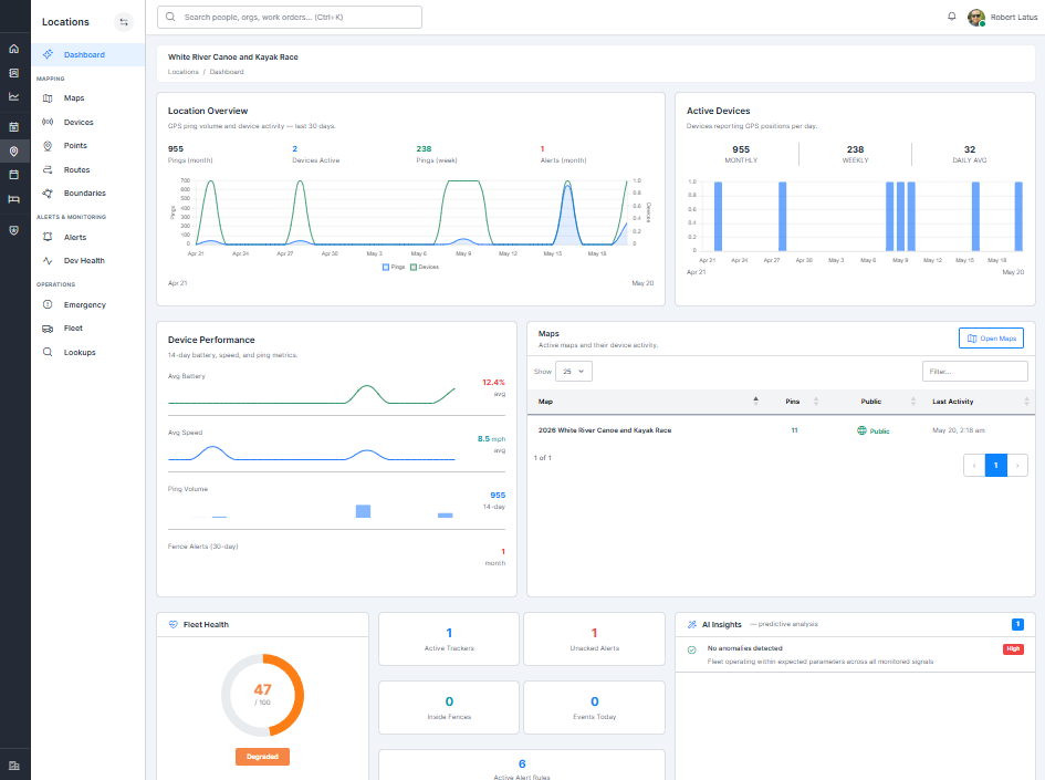
Features
Insights
Location streams are analyzed every night to turn raw positions into answers.
Builds a normal profile for every tracker and flags positions that don't fit, like impossible jumps or spoofed data.
Finds where trackers stop and for how long, without anyone having to log it.
Rates each vehicle's driving from 0 to 100 based on the last 30 days of trips.
Works with
Locations powers the live map and GPS leaderboard in Events, and GPS dispatch in Scheduling.
Getting started
No long sales process. You talk to the people who build the software, and you know exactly what happens next.
Tell us how you work today. We'll walk you through Locations with your operation in mind and answer every question straight.
Create your account and we'll help you set up your devices, maps and alert rules, your team and their permissions.
Start tracking. When you have a question, you talk to the people who wrote the code.
Questions
Each product is a monthly subscription for your organization, so you only pay for the products you use. Book a demo and we'll recommend the plan that fits.
Yes. Every product runs on the same platform, so they share one sign-in, one directory of people and one customer portal. Adding a product doesn't mean moving your data anywhere.
Yes. Every record belongs to your organization and is only visible inside it. Within your team, roles and permissions control who can view or change each product.
Yes. Registrations, bookings and invoices can be paid by card through Stripe, and confirmation emails go out automatically.
Yes. It runs in any modern browser on desktop, tablet or phone, and can be added to your home screen like an app.
No. Booking and registration forms can be embedded in the site you already have. If you do want a new one, we design and host websites too.
Tell us what you need to track, and we'll show you live maps, alerts and fleet records set up for it.